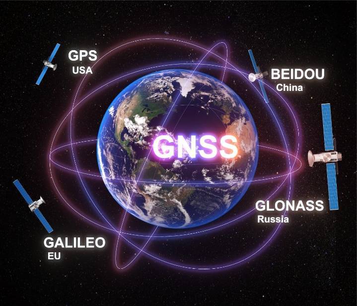
GPS AND GNSS

GPS (Global Positioning System) and GNSS (Global Navigation Satellite System) are satellite-based positioning technologies used to determine the geographical location of objects on or near Earth.
In precision farming, they help farmers identify exact field locations, guide agricultural machinery, map soil variability and manage farm inputs accurately.
Components OF GPS/GNSS
1. Space segment
Satellites orbiting Earth transmit positioning and timing signals.
2. Control segment
Ground stations monitor satellite performance and maintain orbit and clock information.
3. User segment
Receivers in tractors, drones and surveying equipment calculate their position using satellite signals.
GPS = one satellite navigation system;
GNSS = the broader group of satellite navigation systems; RTK = a high-precision positioning technique.