Remote sensing
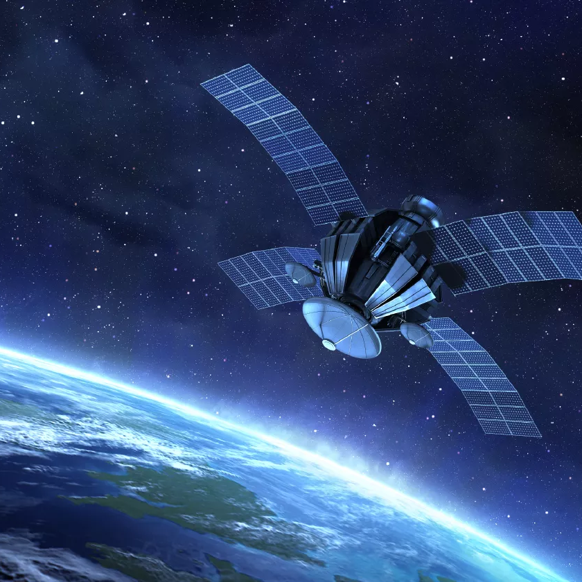
Remote sensing is the science of collecting information about the Earth’s surface without direct physical contact with the objects or areas being studied. It uses sensors mounted on satellites, aircraft, drones, or other platforms to detect and record electromagnetic radiation reflected or emitted from the Earth.
In agriculture, remote sensing is an important technology for crop monitoring and precision farming. Satellite images can provide information about crop health, growth, moisture status, nutrient deficiencies, and pest or disease-affected areas. Vegetation indices such as NDVI (Normalized Difference Vegetation Index) are used to assess the condition and vigour of crops.
Remote sensing also helps in soil mapping, land-use classification, irrigation management, drought monitoring, yield estimation, and identification of stressed crops. It allows farmers and agricultural experts to monitor large areas quickly and efficiently. Multispectral and hyperspectral sensors can provide detailed information about crops and soil.
The major advantages of remote sensing are large-area coverage, rapid data collection, repeated monitoring, reduced field work, and cost-effective management. Therefore, remote sensing plays an important role in modern agriculture by supporting better decision-making, efficient use of water and fertilizers, and improved crop productivity.