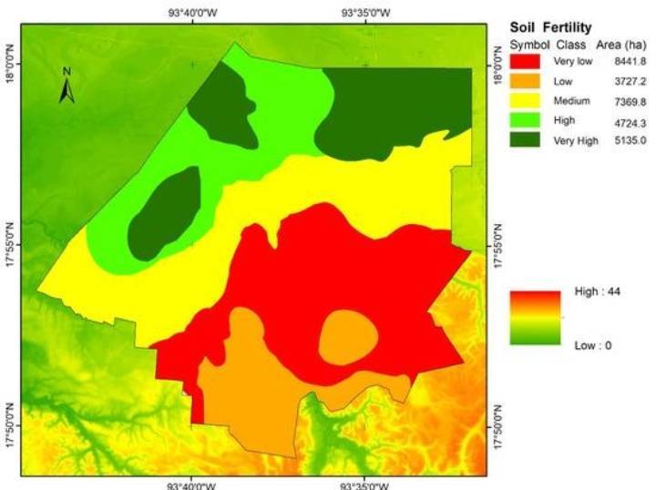
GIS

GIS
GIS stands for Geographic Information System. It is a computer-based system used to collect, store, manage, analyse and display geographical data.
Crop Monitoring: Helps monitor crop growth and identify unhealthy areas.
Fertilizer Management: Supports site-specific fertilizer application based on soil and crop requirements.
Irrigation Management: Helps plan irrigation according to soil properties and field conditions.
Yield Mapping: Identifies variations in crop yield across a field.
Pest and Disease Management: Maps affected areas to support targeted management.
Land Use Mapping: Helps identify agricultural land boundaries and land-use patterns.
Watershed Management: Supports water conservation and soil erosion control.
Components of GIS:
Hardware
Software
Data
People
Methods
This is the basic info about GIS